Sailing notes
Sailing apps (2024)
I found myself cycling through many map apps and weather apps while sailing around the US northeast this summer.
Map apps
-
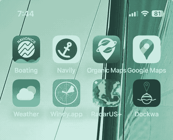
Boating by Navionics - Nautical navigation by Garmin, requires an annual subscription, but its worth it. Very good detail and indispensable for tides and currents. The user comments on harbors and anchorages are also good.
-
Navily - A more social anchorage app that highlights the best places to stay
-
Organic Maps - Offline OSM for on-shore excursions. Note that it is possible to export Google Maps pins (favorites and individual labels) and import into Organic Maps.
-
Google Maps - Useful for the typical business listings and aerial imagery. I think there is another service for offline aerial imagery that would be useful.
Weather apps
-
iOS Weather - Typical “will it be nice outside”
-
Windy.app - Very good hour-by-hour wind graphs and wave direction. Using the free version.
-
RadarUS+ - Paid for based on the recommendation of a stormchaser, it has performed well, was useful in an actual thunderstorm that we were avoiding.
Other
- Dockwa - The mooring booking app that is prevalent around these parts, a necessary evil.
Last note, I wish I turned off cell data for non-essentials, because random background data things blew through our plan’s generous data allowance.
