Short posts, links, and photos. Since 2023 these are mirrored from my accounts on Bluesky and Mastodon; before that, from April 2013 to November 2022, they were tweets. It all syndicates through the nels.city RSS feed. The Twitter archive further down was built with Tim Hutton's Twitter Archive Parser (thread), which recovered the correct links and full-resolution images.
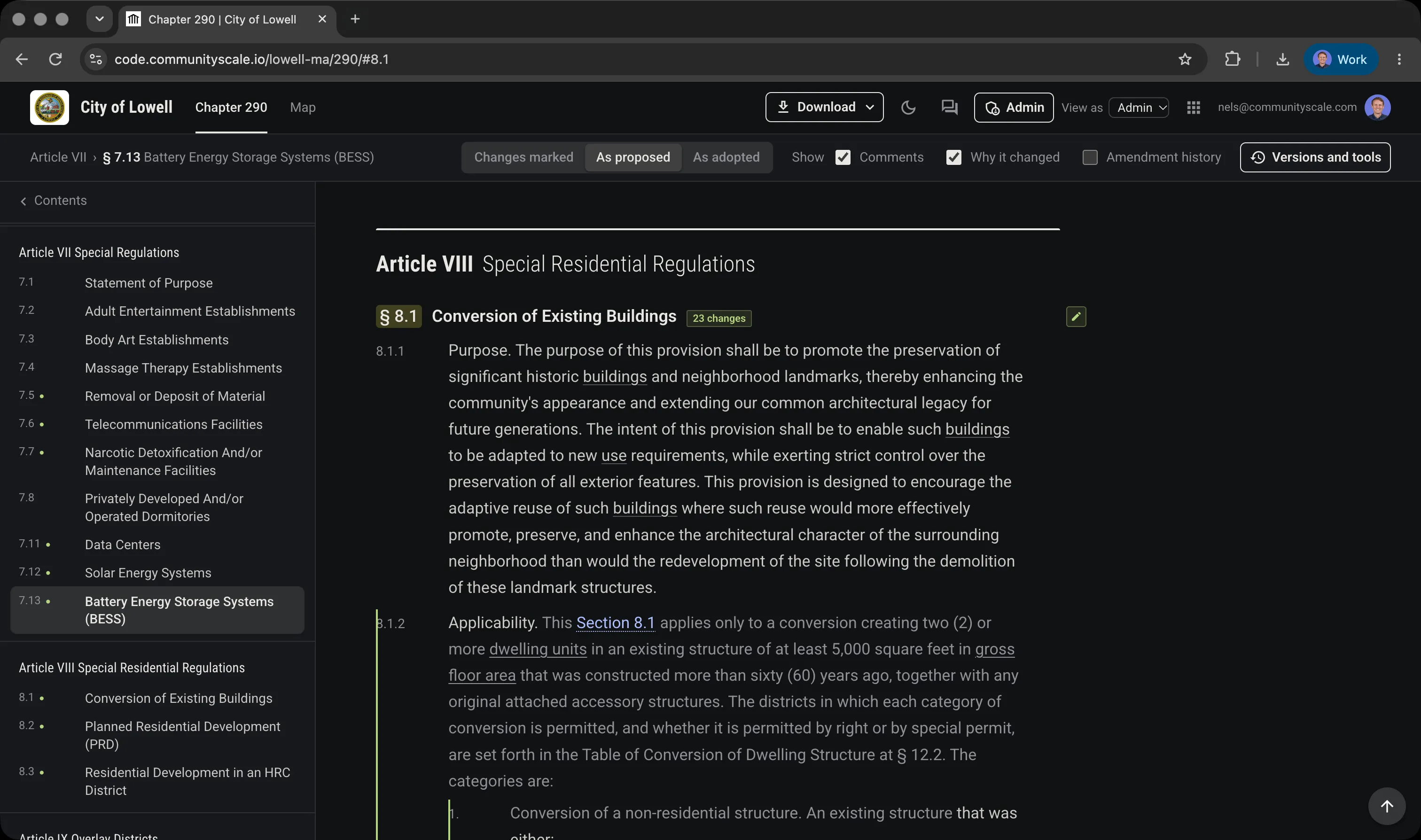
https://communityscale.com/zoning-for-data-centers/ read about our approach to zoning and land use controls for data centers — we create three pathways for accessory data rooms, green computing, and general data centers
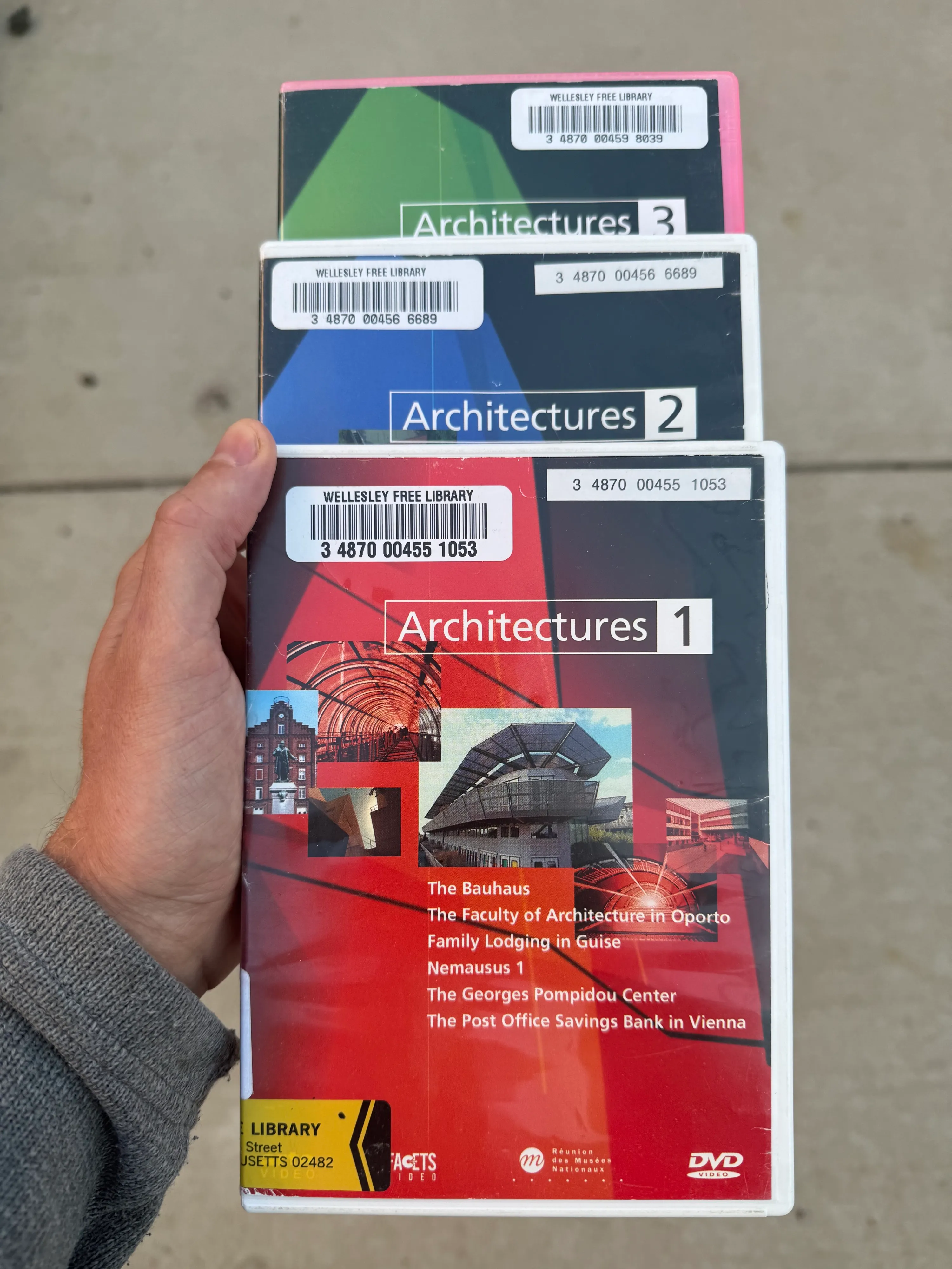
Great series if you haven’t checked it out, a lot of the episodes are on YouTube https://www.imdb.com/title/tt0853066/ stoked to find it in our library network
https://claude.ai/directory/communityscale Our data connector is listed on Claude now, so you can add it for your housing data and forecast needs for any place in the US, let us know what you think!
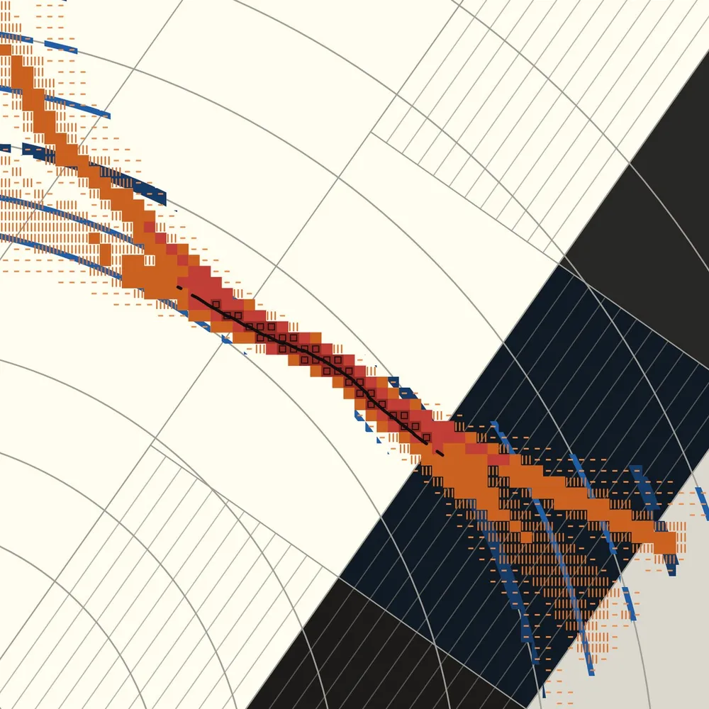
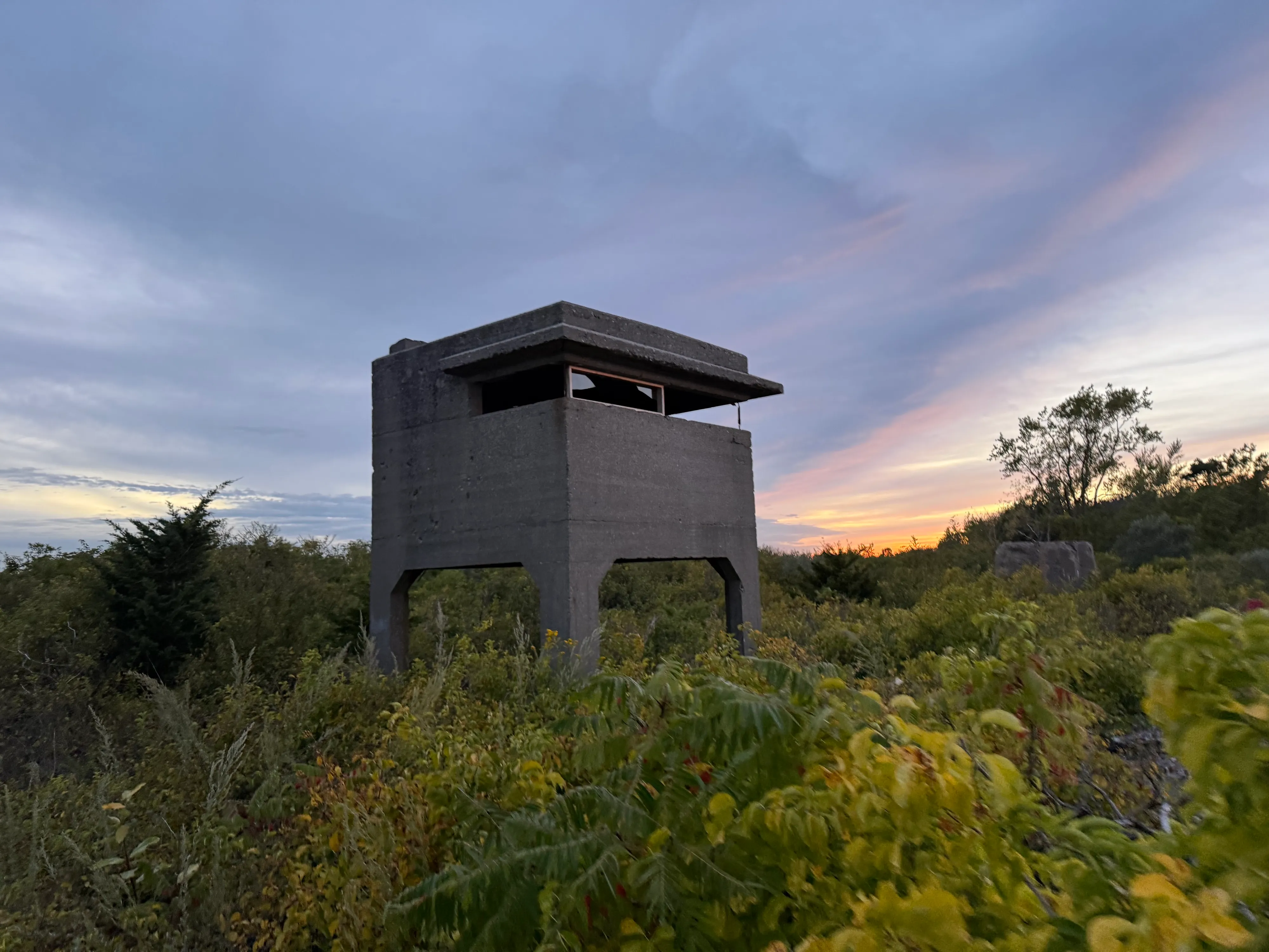
Black pencil. From ten chance points on the edges, lines a foot long straight in. Each end splits into two lines 6 to 9 tenths as long, turned 15 to 45 degrees, one each way. A line that would cross or come within 1/16 inch of another stops there and splits no more. https://4j.am/branch
Gray ink wash, wet enough to drip. Near the floor lay one loose brushstroke across part of the wall. Lay the next above it, and so on to the top, twelve, each at a chance height and length. Each drip runs down until it meets an earlier stroke, and pools there, darker. http://4j.am/drips
Two black pencil scribbles, each a single line never lifted, one twice as long as the other. Each is so dense at a chance point near its own corner that the wall there is nearly black, and thins with distance. The two never touch, so a bare channel winds between them. http://4j.am/divide
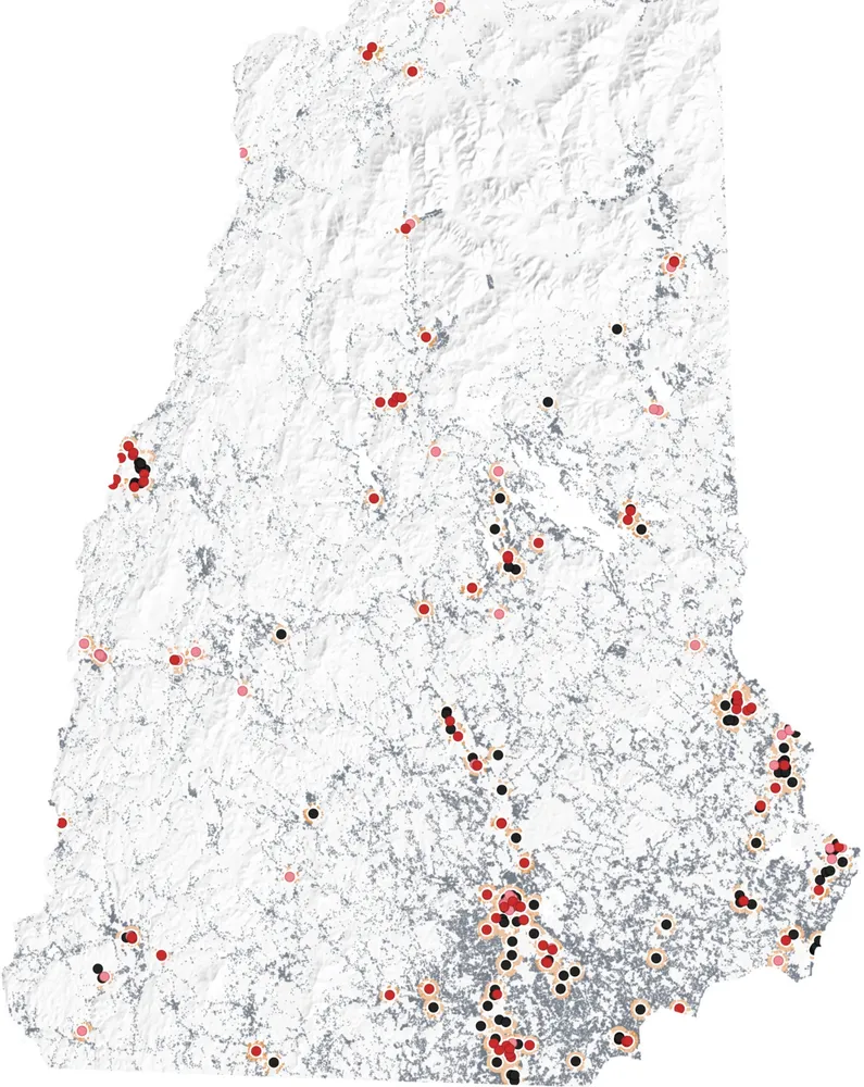
NH Housing is releasing our report on the potential impact of new affordable housing on surrounding property values. We analyzed 93 affordable housing developments linked to more than 68,000 open market home sales and found no measurable effect. Read more here https://communityscale.com/affordable-housing-study-with-nh-housing/
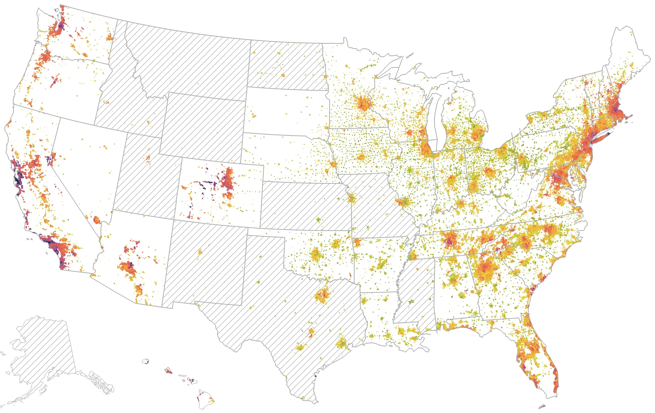
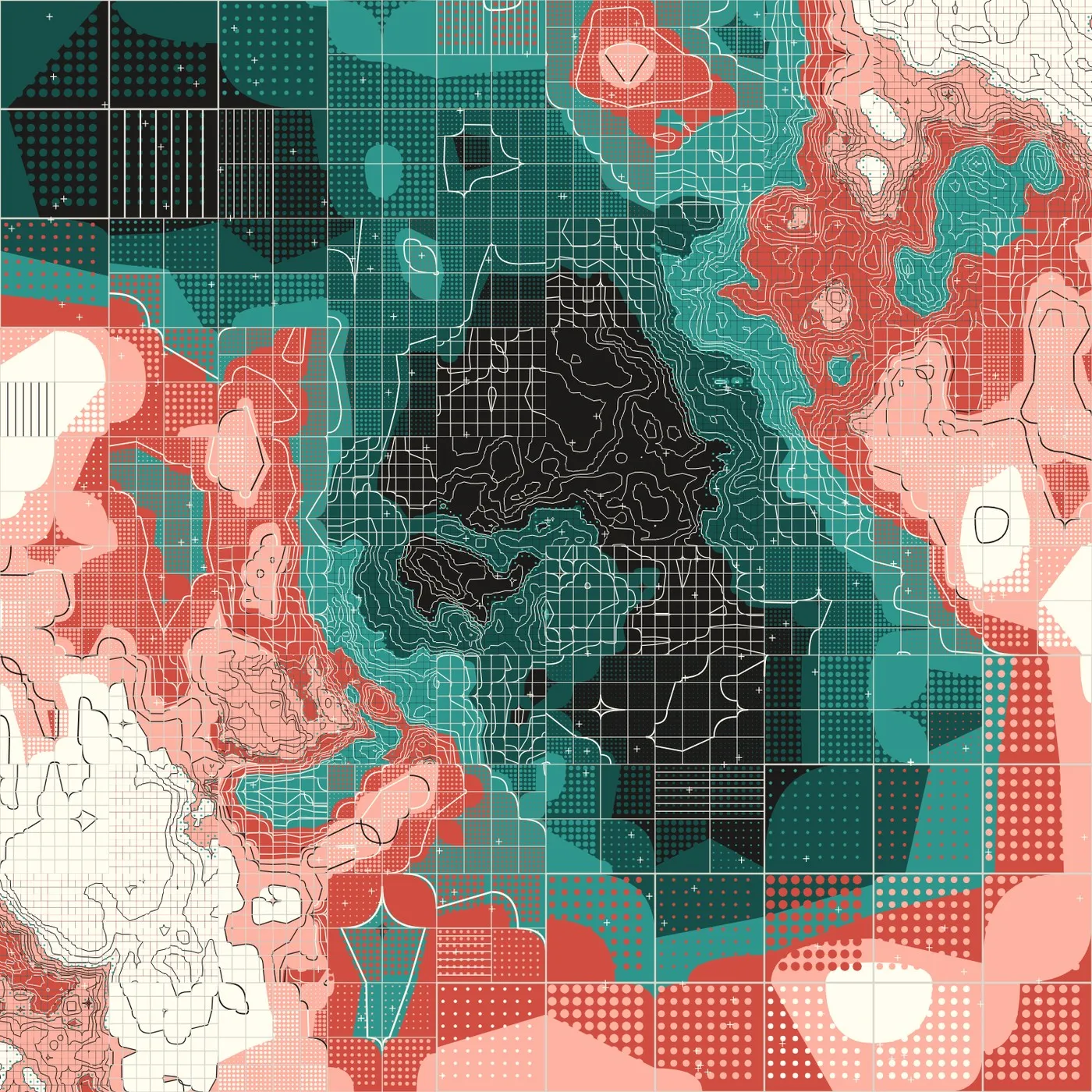
250 years of housing 🇺🇸 this visualization uses 88 million dated property records to show the age and history of today's homes. Red areas (Northeast and Midwest) highlight regions with historic and older builds, while blue areas across the Sunbelt and West Coast show newer construction from recent decades.
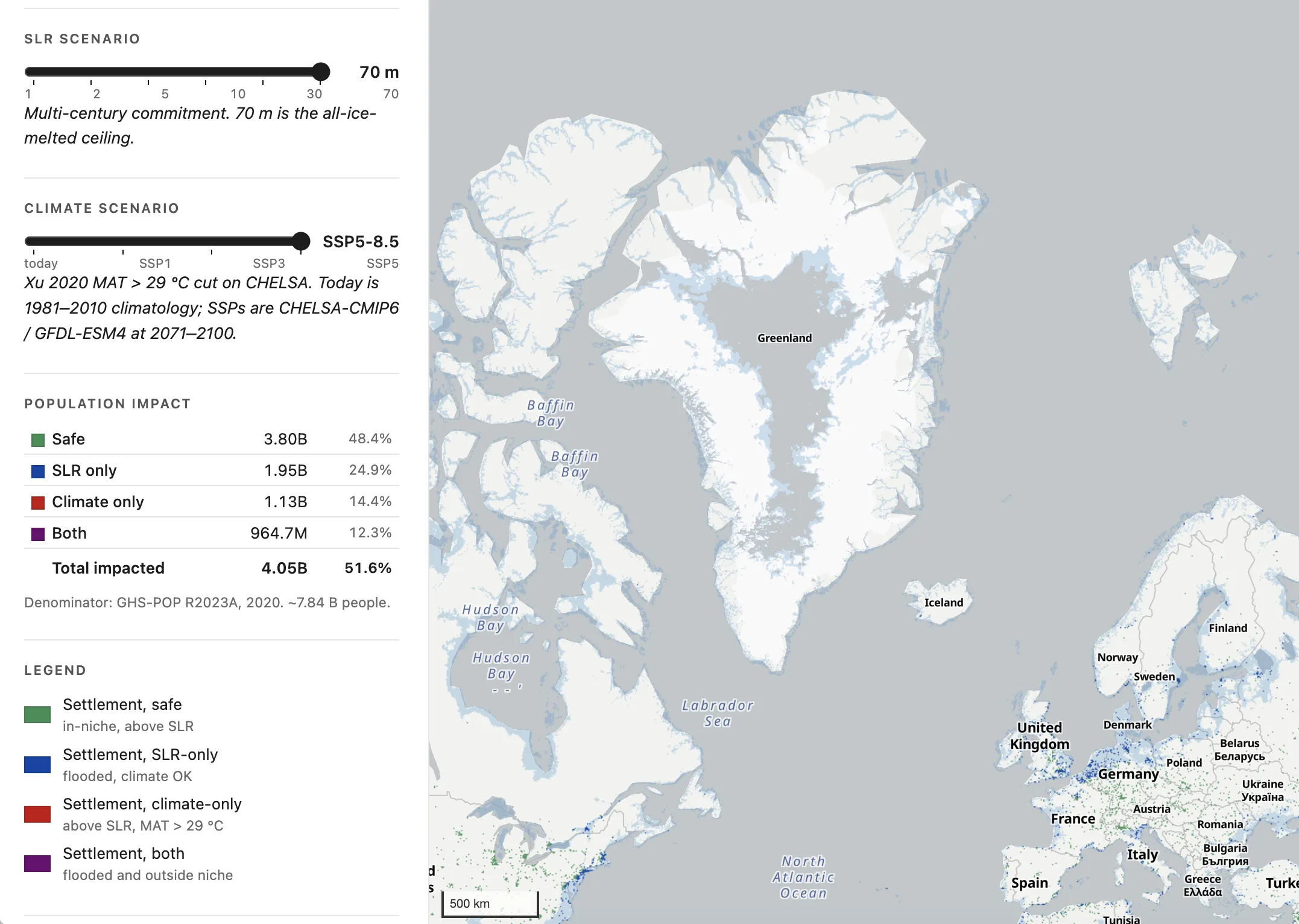
https://nowcity.org/pop-clip?signals=on Now City now has more than 1,000 papers about climate migration, climate change, etc, with lat-long for the places described
Inclusionary housing needs to be legally grounded in a nexus study that establishes a rational link between new market-rate housing and affordable housing demand. This week, the Met Council released the Regional Housing Nexus Study we built using public data. https://communityscale.com/inclusionary-housing-nexus-calculator-from-open-data/
250 Best Places to Live for 2026-2027 from @usnews.com topped by Carmel, Indiana and dominated by mid-sized suburbs. We loaded all 250 into our data platform to read the rankings through a housing supply lens communityscale.com/housing-supp...
Every hour of surfable conditions at Nahant by year. My seven (rather strictly) defined conditions have to align: low tide (±1h), swell ≥2 ft, offshore or light wind, daylight, no rain, air above 40°F, and water above 45°F. nels.city/watch/surf-h...
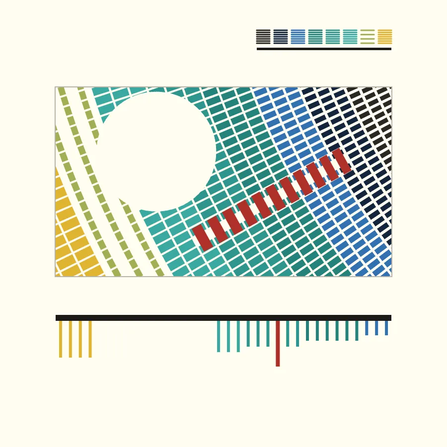
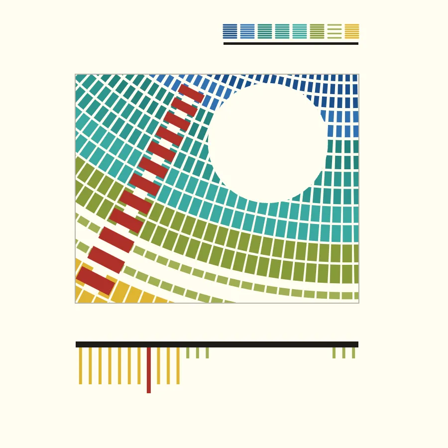
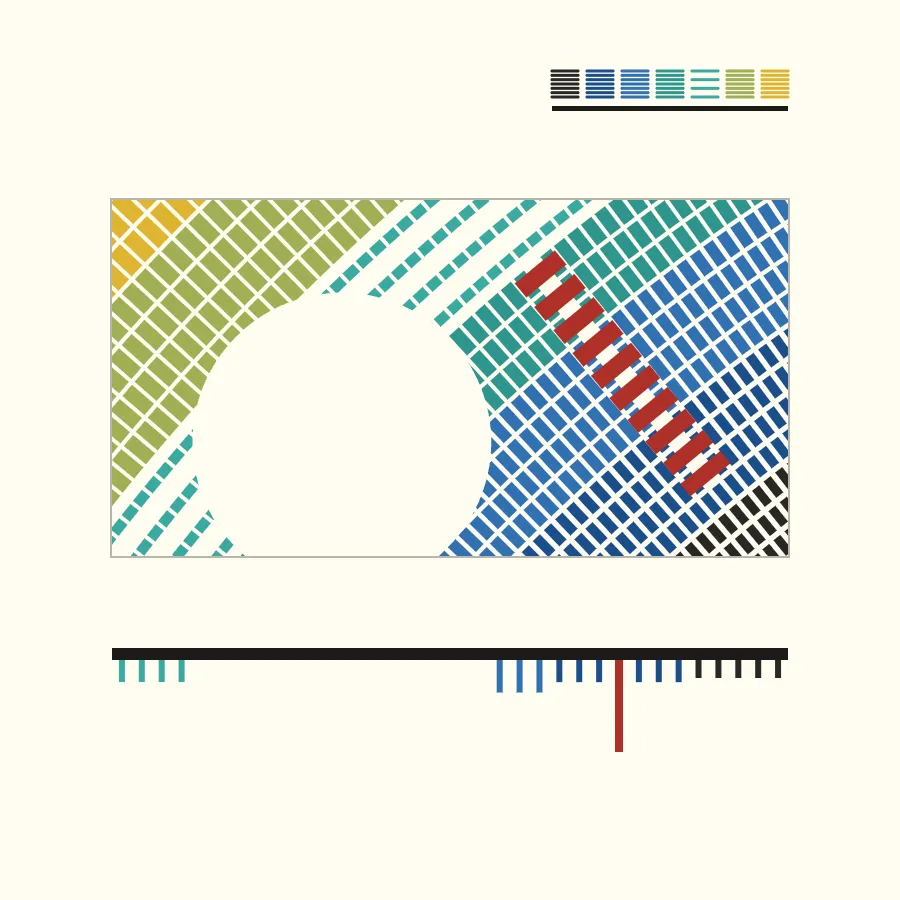
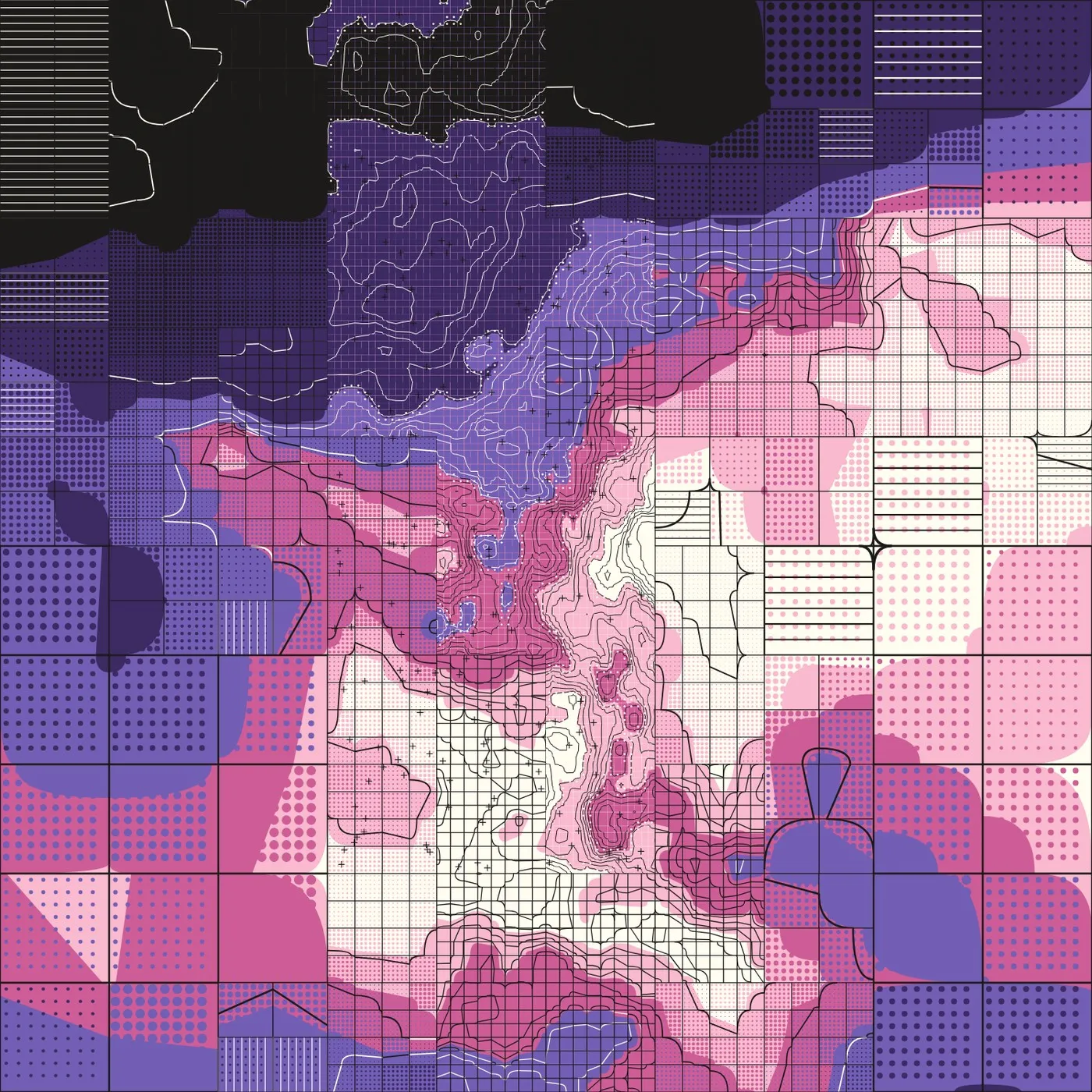
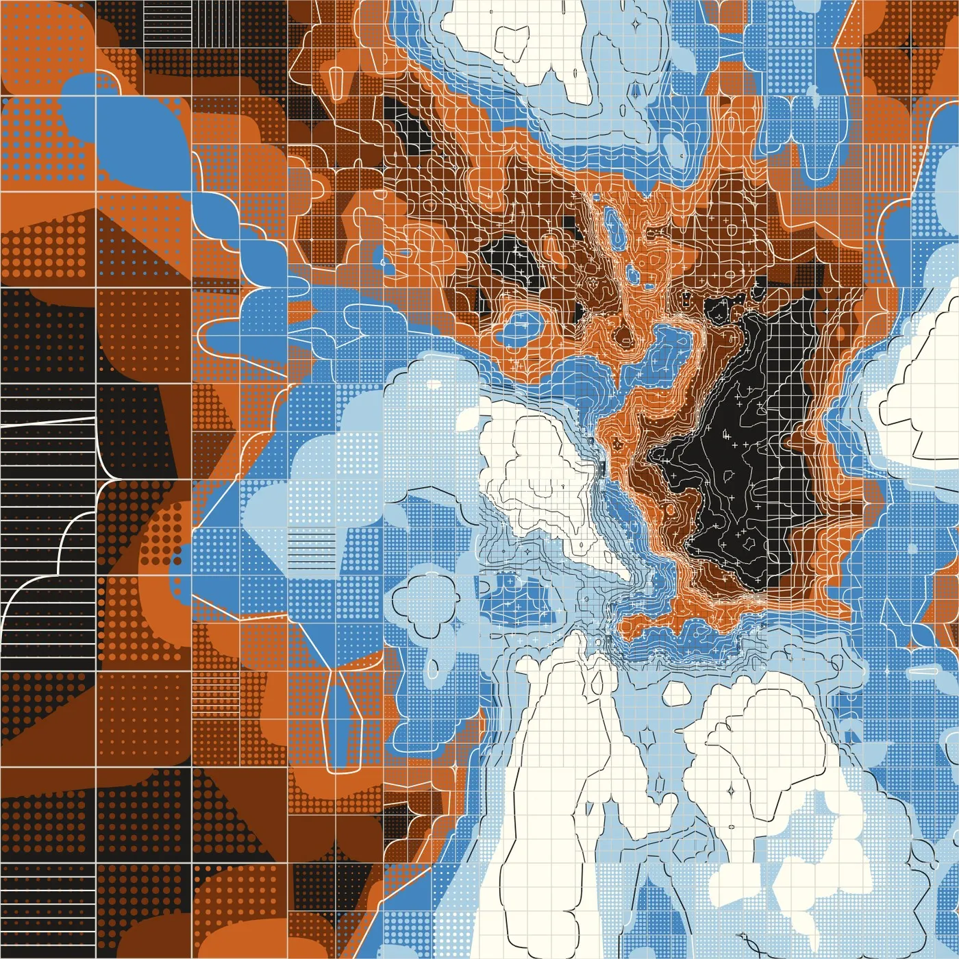
We collaborated with @ronikaufman.bsky.social, who used p5.js to visualize our housing data. The work explores three key metrics: the relative share of housing by structure type, the share of structures built since 2015, and vacancy rates.
Organic Maps is my favorite offline OSM-based navigation app, and I am even happier now that I learned I can import my Google Maps saved places without too much hassle
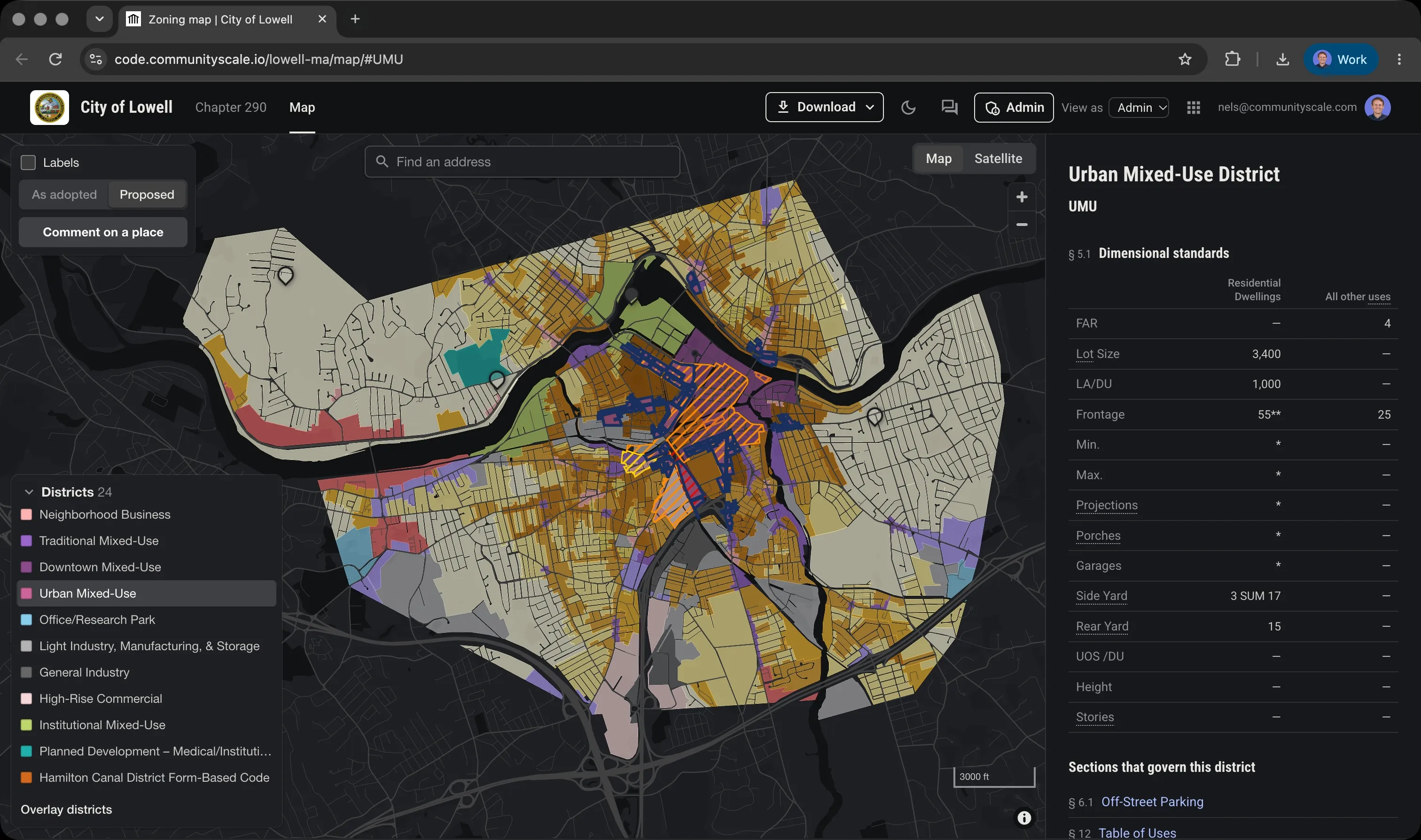
Happy Spring equinox, some updates 🏘️ CommunityScale is going very well, we have a backlog of great projects with great clients to work on 🗺️ Rezoning is becoming a bigger part of my work 🌲 We went out on little adventures most Saturdays, including walks in Lynn, Gloucester, Winchester, and Concord 🏄 I got to do some winter surfing on the Cape and some skiing up north. 🎧 I've been DJing monthly at Portico Brewing in Somerville with some friends
"Voters in Austin recently approved a $350 million housing bond, and San Antonio in 2022 OK’d one worth $150 million. Next year’s bond is expected to be $1 billion, which gets sliced up and spent between all the other capital needs over the next five years. Housing appears poised to be the next large line item, muscling in next to bond program stalwarts like streets and parks."
Jan Gehl’s Life Between Buildings is in its 6th edition -- I had a liberating realization that authors can focus on just refining one book for their careers
Below are my tweets as @nelszzp, newest first, ending when I left Twitter in November 2022.
We’re working with municipalities to comply with the recent MBTA Communities multifamily legislation, including understanding the impact and rezoning. Reach out if you’re interested having a quick discussion about how we can help! https://www.stantec.com/en/ideas/spotlight/market/mbta-communities
Growth in net new households is strong, but housing production is struggling to keep up. The lack of housing supply is driving up prices, so people are more cost-burdened. Regulations need to give multifamily a chance, and subsidies are needed for households with lowest incomes. https://twitter.com/Harvard_JCHS/status/1570808985607098368
Interesting. From my experience, red means red in NL, if you run it you’ll be in trouble with oncoming traffic, whereas in Boston red is the new yellow. I’d support the change to be more efficient!
With students coming back in to the city I thought I'd post my reading list for this fall
📓 The City in History by Lewis Mumford
📘 Fixer-Upper by Jenny Schuetz
📗 Arbitrary Lines by M. Nolan Gray
📙 Soft City by David Sim
📕 In Defense of Housing by David Madden & Peter Marcuse
Discussion of elevated priorities when remote work is possible: social fabric, universities/college towns, safety, supermarket not actually be a requirement with delivery services; avoid pollution, natural disasters, sea level rise; see @NomadList, http://movemap.io
Ask HN: How to find a small town to relocate for remote work? Author wants to get away from $1M homes and find a walkable place with amenities (restaurants, bars, schools, airport, supermarket) and a good climate https://news.ycombinator.com/item?id=32465372
I'm impressed by @CHADesignStudio's preapproved housing types, incl The Bachman, a handsome 6-plex. This is a step forward in greenlighting missing middle and multifamily housing development that I expect will catch on https://www.mychatthouse.com/house-plans/
- Thankfully, this type of development is historically very popular (Back Bay Boston, Mission District SF, Brooklyn NY, Columbia Heights DC), and MA is a leader in the country in terms of pushing municipalities to allow this type of housing via MBTA Communities legislation
- and associated negative externalities of greenhouse gas emissions, other pollution, noise, and space use. In order to truly create a walkable environment that has sufficient population density to support those amenities, we need about 4-story buildings on average -
I'm surprised when I see climate-focused discussions still hung up on whether higher density housing is sustainable or not. Housing within walking distance of destinations (schools, parks, grocery stores, employment, restaurants, etc) decreases motor vehicle miles travelled -
I wrote about Net Zero Communities - five factors for policymakers, planners, and designers that are essential for making the great transition http://pbynd.co/8hz3e
"If we build the right infrastructure, right away, the future will be awesome! ... There can be no 'not in my backyard' with solar and wind energy. Consider that fossil fuels are pervasive and pollute everyone’s back yards—in the air, water, and soil." ~@GriffithSaul 🌎
We visited Hilde and Earle at their Cape Cod Ark, a 1970s "living machine" sustainability experiment by the New Alchemists that integrates housing, greenhouse, aquaculture, and other closed-loop systems. It is still operating beautifully. https://www.youtube.com/watch?v=XQKFL-9PJ1A
If there is one thing I'd ask for: individual entrances and stoops for ground-level units to add activity and personality to the street, i.e. Image C in their written submission, Back Bay, or Cambridge Crossing (linked) https://goo.gl/maps/z1vy6cywuxcYqaur8
I'm seeing a lot of publications on the Zoom Boom, Zoom Towns, workplace flexibility, future of work, and the ilk, so I'm collecting resources in a sort of meta-analysis that I'll keep up-to-date periodically https://nels.city/wfhcities.html
I'll be keeping an eye on the City Data Standard - Mobility (CDS-M) being developed in NL as a common API between mobility providers (shared cars, e-scooters, bikes), users, and public authorities for traffic mgmt https://openresearch.amsterdam/en/overview/70020
"By 2050... Global energy demand is around 8% smaller than today, but it serves an economy more than twice as big and a population with 2b more people. Almost 90% of electricity generation comes from renewable sources, with wind and solar PV together accounting for almost 70%." https://twitter.com/fbirol/status/1394518343516889096
Use the peacetime military industrial complex to deploy renewable energy technology. Solar is a kind of modern roof tile. It will literally make us safer. Should be part of any Green New Deal.
Reversing Car Dependency via @ITF_Forum https://www.itf-oecd.org/reversing-car-dependency
🏨 Review land-use regulations that hinder compact development patterns
⚖️ Integrate planning of transport & land use
🚲 Ensure quality alternatives to private cars
🚫 Abolishing minimum parking requirements
The @USDOT Valuation of Travel Time (VTTS) is a metric used to evaluate and justify public spending on highway widening to increase speed as a benefit for the users.
Let's turn it on its head to justify compact mixed-use neighborhoods where activities are simply closer together.
Dutch blocks are sometimes very long. And you know what? I'm ok with the honesty and efficiency. Plus, some human-scale features subtly break up total monotony.
📍 https://goo.gl/maps/oVWeNCwNqXbqAAHaA
The Sphere Standards establish indicators for water supply, sanitation, shelter, etc in humanitarian situations. As such, it is a sort of “minimum viable product” specification for human settlements. In 2020, they released a 2nd guide for urban settings. https://spherestandards.org/resources/unpacked-guide-urban-settings-2020/
For the person in your life who already knows everything about bike infrastructure and advocacy, I recommend "Bike City Amsterdam: How Amsterdam became the cycling Capital of the World" (2019). Smart urbanism, not smart cities! I made some notes here - https://nels.city/bikecityams.html
I like this because it broadly describes these modes without getting into the motorized-or-not dimension, but I worry that it is urban planning jargon that the public might not immediately understand 🤔
What plain language term best encompasses transportation by bike, walking, scooter, skateboard, and other modes (including electric-assisted) that are generally slower than 25 km/h (15 mph)?
The absence of street light poles really helps fit travel lanes, two tram tracks, parking lanes, bike lanes, sidewalks, and bldg frontage uses within this very tight right-of-way (+/- 60', 18m). Plus, catenary lights are pretty.
📍 https://goo.gl/maps/BfSFmtAkhK4uDuMd7
The right width of a two-way rural road for local access. My length for scale (6’). Great for walking, biking, farm vehicles, and yielding car traffic.
📍 https://goo.gl/maps/9m6CupiYi32czpvK9
Something a little bit different for #mturban this time, instead of walking around a district we walk around a sculpture park, Verbeke Foundation, Belgium. It is one of my favorite places and has a lot of large scale and ecology-themed artworks. https://youtu.be/viEydWaEnGc
Kortenaerplein, Amsterdam #mturban walkthrough. This unsung square in Amsterdam West caught our eye with its human-scale features, interesting site design, and mix of historic and contemporary architecture tucked away off the main street. https://youtu.be/UjGDRwp1gBI
Hygiëaplein is part of Berlage's master plan for South Amsterdam. The plaza and buildings were mostly constructed the 1920s in the Amsterdam School style #mturban https://youtu.be/mwNOJibnnQM
Walkthrough Laan van Spartaan, Amsterdam. Planned by Dijk&co from 2008-2018, this district is centered on a sports complex. This is part of the #mturban series of trips to check out realized urban design projects. https://youtu.be/1QrcgPcNXho
Walking through Borneo-Sporenburg, Amsterdam during the pandemic, planned by West 8 in 1993. It is a landmark project for the high-density low-rise housing typology. Follow along #mturban https://youtu.be/JT27PiJIYQI
Walkthrough of Java-eiland in Amsterdam, master planned by Sjoerd Soeters in 1991. Inspired by Jan Gehl, we're taking trips to significant urban design projects and observing the outcome. Follow along #mturban https://youtu.be/Gy9cZKAjcIg
This Thursday, October 29, join Sam Sternin and me for a #worldcitiesday discussion about the #SARSCoV2 pandemic in vulnerable urban contexts across the world with panelists @danrivera01843, @GautamBhan80, @AllanDevworks, and Dr. Godwin Mindra https://register.gotowebinar.com/register/4180201781677771276
The Landscape of Innovation by Bill Gates' @Breakthrough has 55 "technical quests" - a fantastic to-do list of technology needs for avoiding catastrophic climate change while maintaining high living standards https://www.breakthroughenergy.org/landscape/
The tipping point of population density and proximity holds this all together as a walkable and bikeable environment, which is very hard to achieve when providing space for vehicle storage, even in multi-storey garages.
It occurred to me that a commonality between my house, grocery store, doctor's office, and barber shop (to name a few typical services) is that they all have at least 3 floors housing above them and zero off-street parking.
Talking costs: "Consider what it’s taking to achieve this 8% reduction. More than 600,000 people have died, and tens of millions are out of work. This April, car traffic was half what it was in April 2019. For months, air traffic virtually came to a halt." https://www.gatesnotes.com/Energy/Climate-and-COVID-19
How far would you walk to access basic services, i.e. grocery story, restaurant, park, transit stop, library? (One way. Beyond this distance you'd chose another way to get there.)
The City of Amsterdam has tons of public maps, incl niche (squirrel bridges locations) and quirky (How Big is Amsterdam?)... shown below over the Boston area https://maps.amsterdam.nl/hoegroot/?LANG=en
I'm obsessed with @Anne_Hidalgo's "Quarter Hour Paris" approach, so I translated the banner graphic captions. To have a mayor with a strong urban design platform running a city that already has 50% of trips made by walking is very exciting.
Based on my long bike ride through the city this morning, it appears that Amsterdam is really seizing the moment to catch up on road and sidewalk maintenance
McKinnell, 1969 “This isn’t a building where the pattern is frozen... The process of democratic government is the meaning of City Hall. It should never be finished.” Are the dramatic bays actually ports for expansion into the plaza, the bldg only phase 1 of a dynamic future? RIP https://twitter.com/BostonGlobe/status/1244040623696592898
I'm upset by @medium's paywall for readers (bait and switch!) and regret dismantling my own wordpress, although it was time. I want to move my blog and am considering @pubpub. I have relatively few articles, and I also never want to move again. Thoughts? Recommendations? @metasj
Two sides of the same building, human scale features on the inside and taut facing the highway. The Slotermeer area has quite a few contemporary housing developments worth taking a look at.
Cities committed to net carbon neutrality by 2050 (or sooner)
NYC
LA
London
Paris
Washington DC
SF
Seattle
Sydney
Boston
Stockholm
Barcelona
Copenhagen
Austin
Melbourne
Helsinki
Manchester
Oslo
Nottingham
Adelaide
Bristol
Heidelberg
+ more, via @ECIU_UK https://eciu.net/netzerotracker
He shared the high level goals of Amsterdam's digital agenda, for a free, inclusive, and creative smart city. Smart cities are the new normal, impacting building, public space, healthcare, government, and democracy.
The walkable places market appears to be maturing, i.e. the willingness to pay vs supply is hitting an equilibrium. The issue now is innovating to create more marketable walkable housing to keep up with demand at a reasonable price point... https://www.redfin.com/blog/walkable-neighborhoods-home-prices-rising-slower/
90% of people living in urban areas breath air that doesn't meet the World Health Organization’s air quality guidelines value for particulate matter (2016) #sdg11 https://sustainabledevelopment.un.org/sdg11
The cost-benefit analysis includes 13 parameters for both external and internal costs. While external costs are covered in the RT'ed headline, the internal costs (to the traveler per km) are €0.88 driving, €0.15 biking, €0.50 walking. High price of walking = longer travel time
(Translated) Water barriers along the coast are kept to strength according to the principle 'soft where possible, hard where necessary'.
(Image) Double use of space: A parking garage under the boulevard has been realized in the multifunctional flood defense in Katwijk.
A new colleague forwarded me this paper. The authors take a rigorous look at the costs and benefits of different travel modes. The results aren't necessarily surprising but the data are useful for shaping decisions around future investment. https://twitter.com/CyclingEmbassy/status/1122876376976064513
Walkability and density stats in Toronto scientific paper from 2014: https://www.ncbi.nlm.nih.gov/pmc/articles/PMC3891889/
Note that areas can have raw residential density without walkable destinations & vice versa. It's important to balance land uses!
Lewiston - Auburn ME - Legacy industrial space, dense housing, and the Bates College campus outline a bikeshed that encompasses a range of uses #4kpsqmi
Salinas CA - look at the strong delineation between bikeable density and agriculture, which demonstrates a commitment to limiting urban sprawl #4kpsqmi
While truly walkable density (64k people per square mile #64kpsqmi) is rare in the US, bikeable density is more common. I'll be sharing census blocks with 4k people per square mile #4kpsqmi where in theory most daily needs could be supported within a 10 minute ride (2 miles).
Panorama City LA - I was thinking of not including this because the block is not especially mixed use, but the building type is rather unique #64kpsqmi
In search of walkable density, I looked at US Census blocks with more than 64,000 inhabitants per square mile, a rough benchmark for population density that can support most daily needs within a 10 min walk - see some results #64kpsqmi
Because American roads are typically less comfortable to ride on for cyclists. Without protected lanes, you're mixed in with cars, and so dressing to go >15 mph is rational.
The street to my house closes at 11pm. In the off chance I'm driving home after that, I have to park in a dirt lot at the edge of the neighborhood and walk 200 yards/meters. It is annoying, but also very quiet at night.
Tech reducing walking, aka monetization of walking:
42% of e-scooter riders report that they would have walked or biked if an e-scooter was not available
15% reduction in walking and biking among @WhimappFI users in Helsinki
I think the Greenhouse Effect suffers from a naming problem. i.e. Ozone Hole sounds much scarier at face value. If GHG had a more terrifying brand, maybe climate change conversations wouldn't be as easily derailed by discussions about solar irradiance etc.
I was surprised by @GerBaron on the WEF Cities of Tomorrow podcast. His hot take: free public Wi-Fi is fundamentally a bad idea bc its an "inside" technology that drains your battery. He advocates free 3G, 4G, 5G as a better solution for public places.
Thinking about contextually-appropriate approaches to healthy cities in advance of my #walk21 talk next week
Higher income=⬆️non-communicable disease (heart disease, diabetes, cancer)
Lower income=⬆️communicable disease (diarrhea, respiratory infection) https://vizhub.healthdata.org/gbd-compare/
Oosterwold is fascinating -- like a real world game of Carcassonne. Individual plot owners are required to collaborate on establishing new roads (incl naming!) I also like the user friendly dev handbook. Link in Dutch... https://handboek.maakoosterwold.nl/onderdeel/kavelweg/
I ran past two pieces of public art in my new neighborhood this morning. James Turrell - Celestial Vault and a big sphere of rubble that looks like an Andrew Goldsworthy piece but need to confirm.
I've relocated to the Netherlands for a while as my SO, the inspirational @elinebakr, took a job in The Hague. Expect to see more tweets about ecological infrastructure and street design details. I'll still be working with @Stantec!
I'm presenting about the future of urban design for healthy cities at @BARIboston. I'll share work we've been doing at @Stantec's Urban Places including @WaterStTampa and @OneCharlestown, co-author is @BlakeJackson81. Come check it out! https://twitter.com/BARIboston/status/1105513962030989312
OK so this isn't news but I'm blown away that in Japan zoning is national and there are only 12 land use types and each one has a cute drawing http://www.mlit.go.jp/common/001050453.pdf
It seems physically more comfortable having the glass block road noise, but psychologically less comfortable not being able to see the bus coming. What do you think? @JeffSpeckAICP @RJDeNisco @ryan_martinson @DavidDixonUrban
Working on design guidelines for BRT stations, I noticed that most Japanese stations are "opposite" from USA. The station is right at the curb, and the benches face towards the sidewalk instead of the street.
Check out the Circularity Gap report by @circleeconomy. It is interesting how material footprint is categorized by societal needs rather than industry. We have to use fewer things more efficiently for a longer time and then ♻ - https://www.circularity-gap.world/
I'm an urban planner thinking about how we might deliver healthier places, and am intrigued by how health care spending can reach out into the community to create better health outcomes.
Lovely graphic, great research. One critique - I think that "physical environment" only accounting for 7% underestimates the importance of place. For example, physical activity and distance to healthcare resources are influenced by location.
I spent some time in Phnom Penh over the holidays. The "shophouses" are a neat way of mixing uses--and the gov't is building new ones based on the historic type. The stores have very narrow frontages and the dwellings above are accessed by shared stairwells.
I sometimes get asked where my name came from. In honor of #VeteransDay, here is my grandfather, Nels Nelson, a Navy Seabee working on Kodiak Island, Alaska in 1947.
In 2015 I tweeted @marty_walsh that the Museum of Science bridge "bike lane" is dangerous for people bicycling. Today, a man died there. Waiting until a fatality is not an acceptable policy for building infrastructure (see Sullivan Sq, Mass Ave, Porter Sq, Inman Sq) - CC @CambMA https://twitter.com/nelszzp/status/590953267149938688
I've got a #smartmobility segment in this article. I touch upon the important decisions cities have to make in order to create the best future for communities. https://twitter.com/UNDP/status/1057664768507559941
“We either invest now, or else we pay a much bigger price later. And we’ll pay that price in more than dollars. We’ll pay it in jobs lost, small businesses that never recover, homes destroyed, and families displaced.” Well said @marty_walsh
Strategies for Responding to Gentrification via @Harvard_JCHS
📍local preference for new inclusionary unit tenants
🏘️acquire & preserve existing affordable housing
🔑promote ownership in gentrifying neighborhoods
🏪fight to keep local businesses open http://housingperspectives.blogspot.com/2018/06/strategies-for-responding-to.html
Another "self build" project in NL on the heels of @DeCeuvel, @CHV_Rotterdam, @NDSM_werf, Scheepstimmermanstraat, Homeruskwartier, &c. Great precedent for medium-term placeholders or long-term infill. I can think of a few spots in Greater Boston that could use something similar! https://twitter.com/hofvancartesius/status/983756736233340928
What's up with the middle age man in lycra on a road bike illustration on the poster? We want inclusive bike infrastructure. I'd much rather see someone who is new to cycling without the fancy gear.
While urban health has been raised within the public health community, further urban interventions to control infectious diseases could still be integrated into existing resilience programs, starting with the identification of cost-effective evidence-based solutions and measures. https://twitter.com/BUSPH/status/996103444414042112
(continued) issues:
- An outside review of the power production concluded that the claimed power generation is inconsistent with the makeup of the waste input
- The supplier's baseline report (2013) did not include an assessment of future health concerns in the neighborhood
There are several problems with this project.
- It is not operational, so the claims about energy and materials recovery are speculative
- It is in the center of the city surrounded by neighborhoods, which is not a responsible place for an incinerator
What I learned from @AxiomZenTeam last night at MIT
- Blockchain products can't be altered after release, giving users security to invest
- Like the 90's internet, today's DLT is too slow to support everyone's wild dreams
- CryptoMMO is the next step in gaming once DLT catches up
I got a few notes penciled in on the great #DavisSquare intersection redesign at last night's #Somervillebydesign open house:
-Bulbout on the corner of Highland and College
-Keep/expand crosswalk across from the T on College
-Bike boxes at arriving lanes
-More street trees
Gordon Gill, wow. He opens with "I want this to be a discussion" and then leaves the audience speechless #urbandesign #sustainability #sdg11 https://www.youtube.com/watch?v=nVljbJdYGIc
Here are the publications I follow for original urban news in no particular order, what's missing?
@FastCoDesign (Cities)
@BloombergView
@NextCityOrg
@CityLab
@GuardianCities
@Cities_Today
@CityObs
Just came across the Luanda master plan. It is a beautifully produced document 🗺️ belated congrats to the project team @isabelaangola #PDGML http://www.planoluanda.com/
http://www.resilientma.org/ is now live for the public! Kudos to @massgov @MassEEA for providing science-based decision-support tools for climate change adaptation. Check out the interactive map 👇 #resilience
The @bsaaia asked designers to reimagine a dry dock in Boston.
I suggest permanently mooring decommissioned & renovated cruise ships, like the @ssrotterdam, to quickly add a few hundred mixed-income units and contribute to @marty_walsh's housing goals
🔗https://www.architects.org/architectureboston/articles/now-docking
This interactive piece for public spaces by @Moment_Factory is cool. It uses a LIDAR sensor to track players, which is typically for tracking moving objects on self-driving cars.
The tendency to relate new things to past experience by creating hybrid concepts like horseless carriage, mobile phone, and smart city, rather than thinking about these things on their own terms.
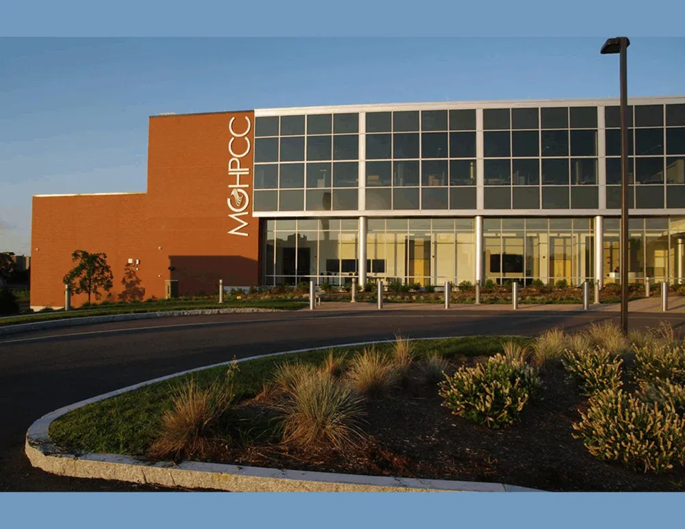 How we're zoning for data centers - CommunityScaleData centers continue to be a controversial land use, with data center regulation bills introduced in at least 30 states in 2026. At the local level, more communities are passing local land use regula...